Written Into the Ground: What Bodington's Place Names Remember — and What They Have Chosen to Forget
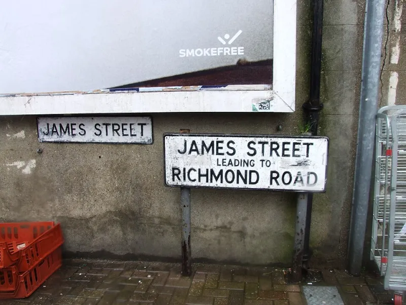
Photo: Chris Whippet , CC BY-SA 2.0, via Wikimedia Commons
A map is never simply a map. It is an argument — a set of choices about whose history matters, whose contributions warrant commemoration, and whose presence can safely be left unrecorded. Bodington's street names, neighbourhood designations, and local topographical terms constitute precisely such an argument, one that has been revised, contested, and occasionally falsified across several centuries of settlement and resettlement.
To walk through Bodington with any genuine attention is to move through layers of historical sediment. A street name that appears entirely unremarkable — Perseverance Row, say, or Tanners' Yard — may conceal within it an entire economy, a social conflict, or the memory of a community that no longer exists in any other form. Conversely, the absence of a name, or its replacement with something blandly administrative, can represent an erasure as deliberate as any act of demolition.
The Oldest Names and What They Reveal
Some of Bodington's place names are of considerable antiquity, their origins traceable to the Old English or Old Norse vocabulary of early medieval settlement. The '-ington' suffix in the town's own name belongs to this category, derived from a form indicating 'the farmstead or estate of a person called Boda' — a personal name now entirely obsolete but preserved, paradoxically, in perpetuity through its attachment to the landscape.
Similarly, several of the town's older field names — preserved in some cases only through estate records and tithe maps held at the county archive — speak to agricultural practices and natural features that have long since been built over. 'Blackmere Meadow,' which appears in documents from the seventeenth century, is believed to refer to a marshy depression that once lay to the north-east of the original settlement. No trace of the landscape feature survives, but the name was still in local use as recently as the 1920s, applied informally to a district of terraced housing that had been constructed on the drained site.
The disappearance of 'Blackmere' from common usage — it appears on no current signage, and younger residents are generally unfamiliar with it — illustrates a process that has repeated itself across Bodington with little documentation and less deliberation.
Migration and the Names That Arrived With People
Bodington's industrial expansion during the nineteenth century drew workers from across Britain and, in time, from further afield. This movement of people left its mark on the town's geography in ways that are not always immediately apparent.
The district informally known as 'Little Ireland' — a designation found in several British industrial towns of the period — referred to a dense cluster of courts and back-to-back houses that had been settled predominantly by Irish immigrant families following the famines of the 1840s. In Bodington, this area occupied a portion of what is now the ring road's southern approach. The name survived in oral use well into the twentieth century, long after the original community had dispersed and the housing had been cleared. It appears on no official map and in no council record, yet several elderly residents interviewed for this article used it without prompting, as a natural geographical reference.
The Welsh Quarter — a less common designation, but documented in at least two nineteenth-century trade directories — refers to streets near the former ironworks where Welsh-speaking families settled in significant numbers. Here, the names on the streets themselves tell nothing of this history. The present-day streetscape offers no indication that Welsh was once spoken within earshot of these corners, or that a Welsh-language chapel once stood on a site now occupied by a car park.
Renaming as Policy and Its Consequences
Not all changes to Bodington's place names have been gradual or organic. Several have been the result of deliberate administrative decisions, some of which warrant scrutiny.
The post-war slum clearance programmes of the 1950s and 1960s involved not only the physical demolition of older housing but the wholesale replacement of street names in newly developed areas. The logic was ostensibly practical — new estates required new addresses — but the effect was to sever the renamed streets from any associative connection to the communities that had previously inhabited them. Residents who were rehoused within the same general area sometimes found themselves unable to explain to their grandchildren where they had originally lived, because the streets of their childhood had ceased, nominally, to exist.
More recently, the redevelopment of Bodington's waterfront district in the early 2000s produced a set of street names — Harbour View Crescent, Marina Walk, and similar — that make no reference whatsoever to the industrial history of the site. The warehouses, wharves, and workers' dwellings that preceded the development are commemorated nowhere in the new nomenclature. A visitor arriving today would have no reason to suspect that the area had once been a centre of commercial activity employing hundreds of local residents.
This is not a uniquely Bodington phenomenon. Across Britain, the language of regeneration has frequently displaced the language of memory, substituting aspirational imagery for historical specificity. But the cumulative effect, in a town of Bodington's size, is particularly acute.
What We Lose When Names Disappear Without Record
The argument for documenting place names — including informal, obsolete, and contested ones — is not merely antiquarian. It is an argument about the conditions of civic belonging.
When a community's geography is legible only to those who already know its history, newcomers are placed at a structural disadvantage. Conversely, when place names are preserved and their origins explained, they become points of entry into a shared past — resources for the kind of informed civic participation that sustains healthy communities.
Dr Anita Sharma, a historical geographer at a northern university who has consulted on several community mapping projects, argues that lost place names represent 'a kind of cognitive commons — shared mental geography that allows people to locate themselves within a longer story than their own lifetime.' When that commons is diminished, she suggests, something important about collective self-understanding is diminished with it.
Towards a More Complete Map
Several practical initiatives could contribute meaningfully to the preservation of Bodington's place-name heritage. A collaborative mapping project — combining archival research with community-submitted recollections — could produce a layered digital record of both formal and informal place names across different periods. Local schools could be involved in gathering testimony from older residents, creating an educational dimension that would also yield valuable primary material.
The town's planning processes might also be reformed to require some degree of historical consultation before street names are assigned in new developments. This need not be a cumbersome exercise; in many cases, a modest amount of research would be sufficient to identify names that carry genuine local resonance.
What matters most, however, is the recognition that place names are not administrative conveniences but cultural artefacts — as worthy of careful stewardship as any building or document. The ground beneath Bodington's streets holds more history than its current maps suggest. The task before us is to make that history legible before it passes entirely out of reach.